
Our Equipment
-

DJI Matrice 4T
The DJI Matrice 4T is a cutting-edge advanced thermal-capable drone designed and optimized for solar inspections and is the heart of our operation.
Critical for high quality solar inspections, it features a thermal camera with a 640x512 sensor, enabling us to conduct precise thermal inspections and monitor temperature variations effectively.
In addition, it is equipped with a high resolution RGB which allows us to capture thousands of pictures of your solar site and assemble them into a single image orthomosaic map of the site where anomalies detected from the thermal inspection can quickly be referenced.
-

DJI Plus 2 Remote
The most advanced drone technology can only be fully utilized when used in conjuction with an advanced remote controller to plan accurate and efficient solar asset missions.
The DJI Plus 2 Remote paired with the Pilot 2 App allows us to define specific flight parameters for your site which will ensure maximum accuracy and efficiency of the data collection mission.
It is imperative that drone pilots capture solar fields at the right altitude, speed, orientation, etc. and with the right IR and RGB camera settings enabled - all of which are made possible by the DJI Plus 2 Remote and Pilot 2 app.
-
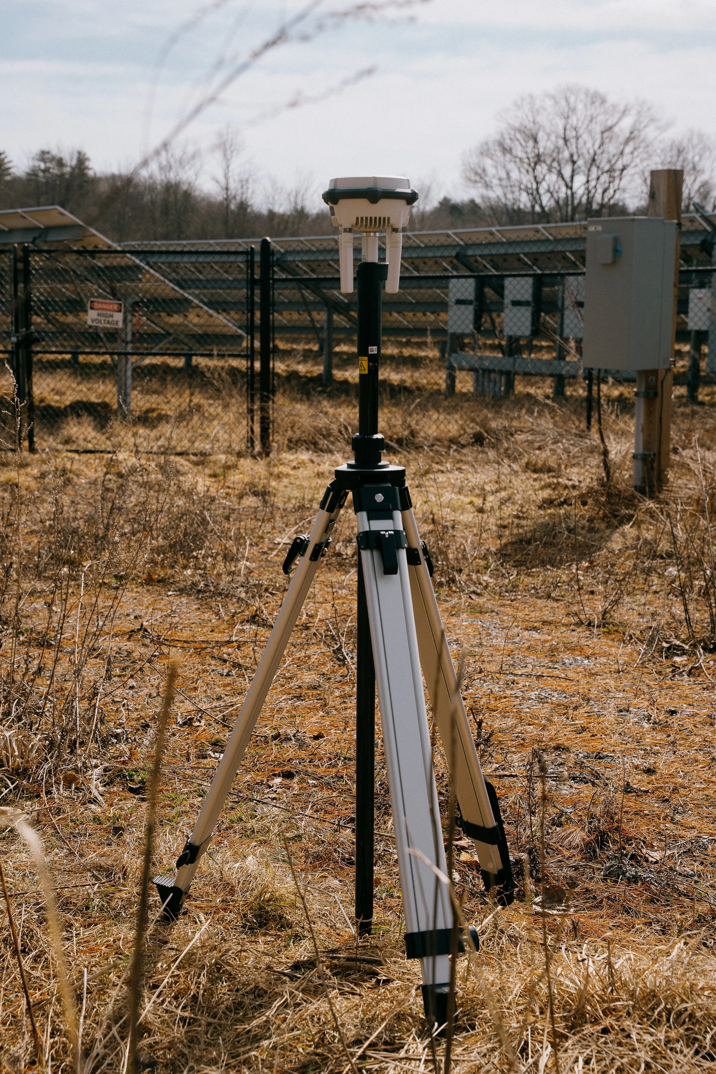
DJI RTK-3 Base Station
Often overlooked by many commercial drone pilots performing solar inspections, GNSS positioning to the cm level allows for precise identification and mapping of solar cell anomalies discovered during an inspection.
The RTK-3 Base Station is a critical tool designed to enhance the accuracy of drone operations through real-time kinematic positioning.
By utilizing advanced satellite signals, the RTK-3 provides centimeter-level precision, which is crucial for post-processing analysis and delivering actionable insights from solar asset inspections.